Reading view

NASA Tests Air Traffic Surveillance Technology Using Its Pilatus PC-12 Aircraft

3 min read

Preparations for Next Moonwalk Simulations Underway (and Underwater)

NASA’s Pilatus PC-12 flies over the runway at NASA’s Armstrong Flight Research Center. The white plane shines bright against the Mojave Desert landscape. The red NASA worm figures prominently on the tail of the plane and a blue stripe lining the fuselage with the NASA meatball logo under the pilot's window. The plane’s call sign, also in blue, N606NA is brightly painted above the blue stripe.
Equipped with state-of-the-art technology to test and evaluate communication, navigation, and surveillance systems NASA’s Pilatus PC-12 performs touch-and-go maneuvers over a runway at NASA’s Armstrong Flight Research Center in Edwards, California on Sept. 23, 2024. Researchers will use the data to understand Automatic Dependent Surveillance-Broadcast (ADS-B) signal loss scenarios for air taxi flights in urban areas. To prepare for ADS-B test flights pilots and crew from NASA Armstrong and NASA’s Glenn Research Center in Cleveland, ran a series of familiarization flights. These flights included several approach and landings, with an emphasis on avionics, medium altitude air-work with steep turns, slow flight and stall demonstrations.
NASA/Steve Freeman

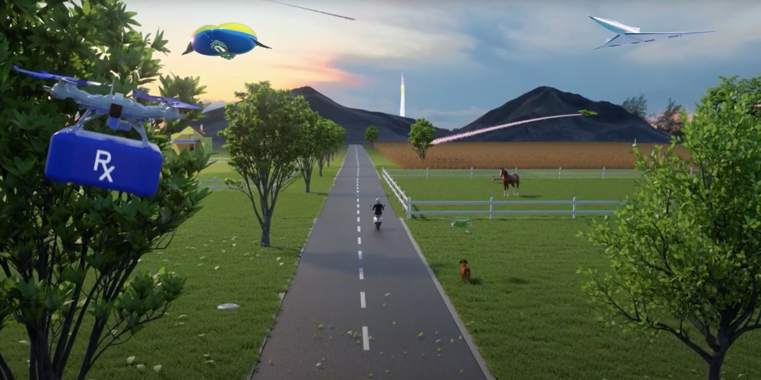
As air taxis, drones, and other innovative aircraft enter U.S. airspace, systems that communicate an aircraft’s location will be critical to ensure air traffic safety.

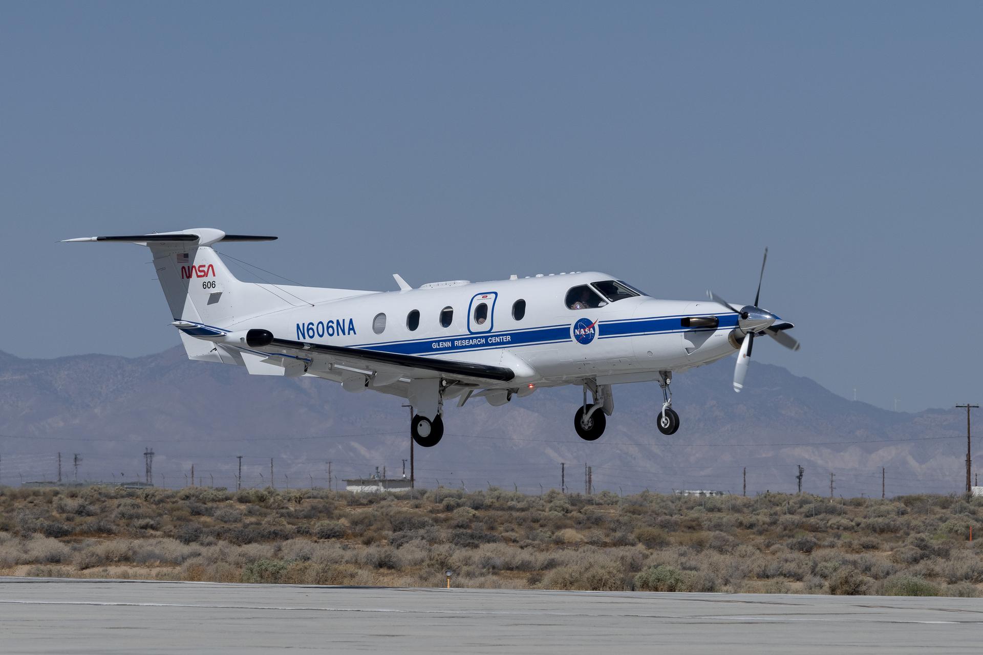
The Federal Aviation Administration (FAA) requires aircraft to communicate their locations to other aircraft and air traffic control in real time using an Automatic Dependent Surveillance-Broadcast (ADS-B) system. NASA is currently evaluating an ADS-B system’s ability to prevent collisions in a simulated urban environment. Using NASA’s Pilatus PC-12 aircraft, researchers are investigating how these systems could handle the demands of air taxis flying at low altitudes through cities.  

When operating in urban areas, one particular challenge for ADS-B systems is consistent signal coverage. Like losing cell-phone signal, air taxis flying through densely populated areas may have trouble maintaining ADS-B signals due to distance or interference. If that happens, those vehicles become less visible to air traffic control and other aircraft in the area, increasing the likelihood of collisions.

In a briefing room at NASA’s Armstrong Flight Research Center, in Edwards, California, NASA pilot Kurt Blankenship wears a blue flight-suit and sits at a brown desk to review flight plans on a rectangular flight tablet. The tablet displays a map of Edwards Air Force Base and Rogers Dry Lakebed with directional lines in light blue and flight zones designated in dashed lines and purple circles.
NASA pilot Kurt Blankenship maps out flight plans during a pre-flight brief. Pilots, crew, and researchers from NASA’s Armstrong Flight Research Center in Edwards, California and NASA’s Glenn Research Center in Cleveland are briefed on the flight plan to gather Automatic Dependent Surveillance-Broadcast signal data between the aircraft and ping-Stations on the ground at NASA Armstrong. These flights are the first cross-center research activity with the Pilatus-PC-12 at NASA Armstrong.
NASA/Steve Freeman

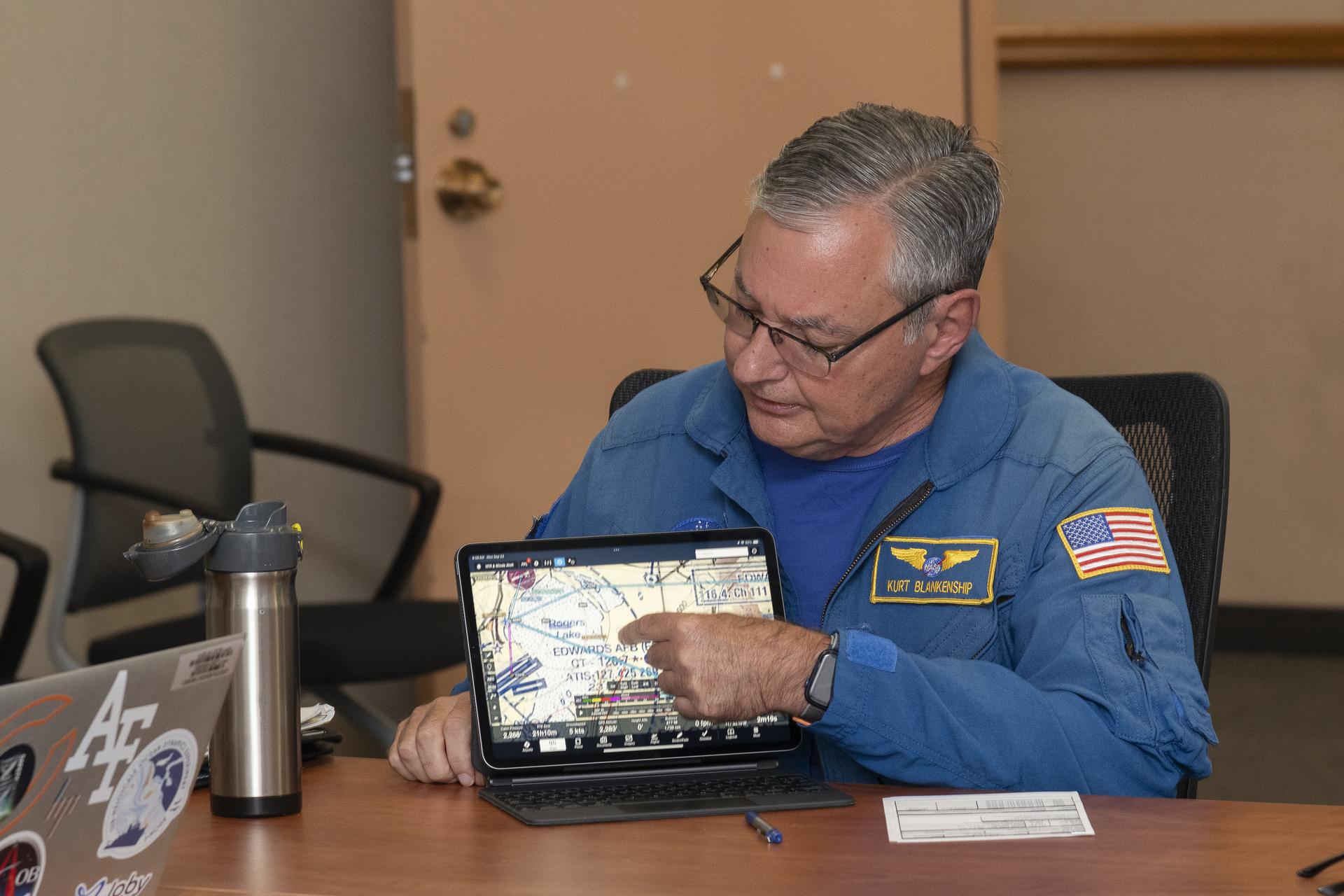
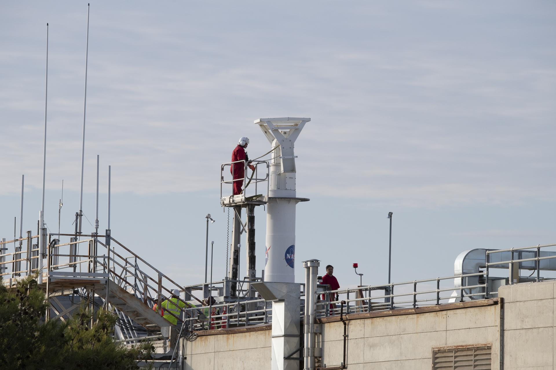
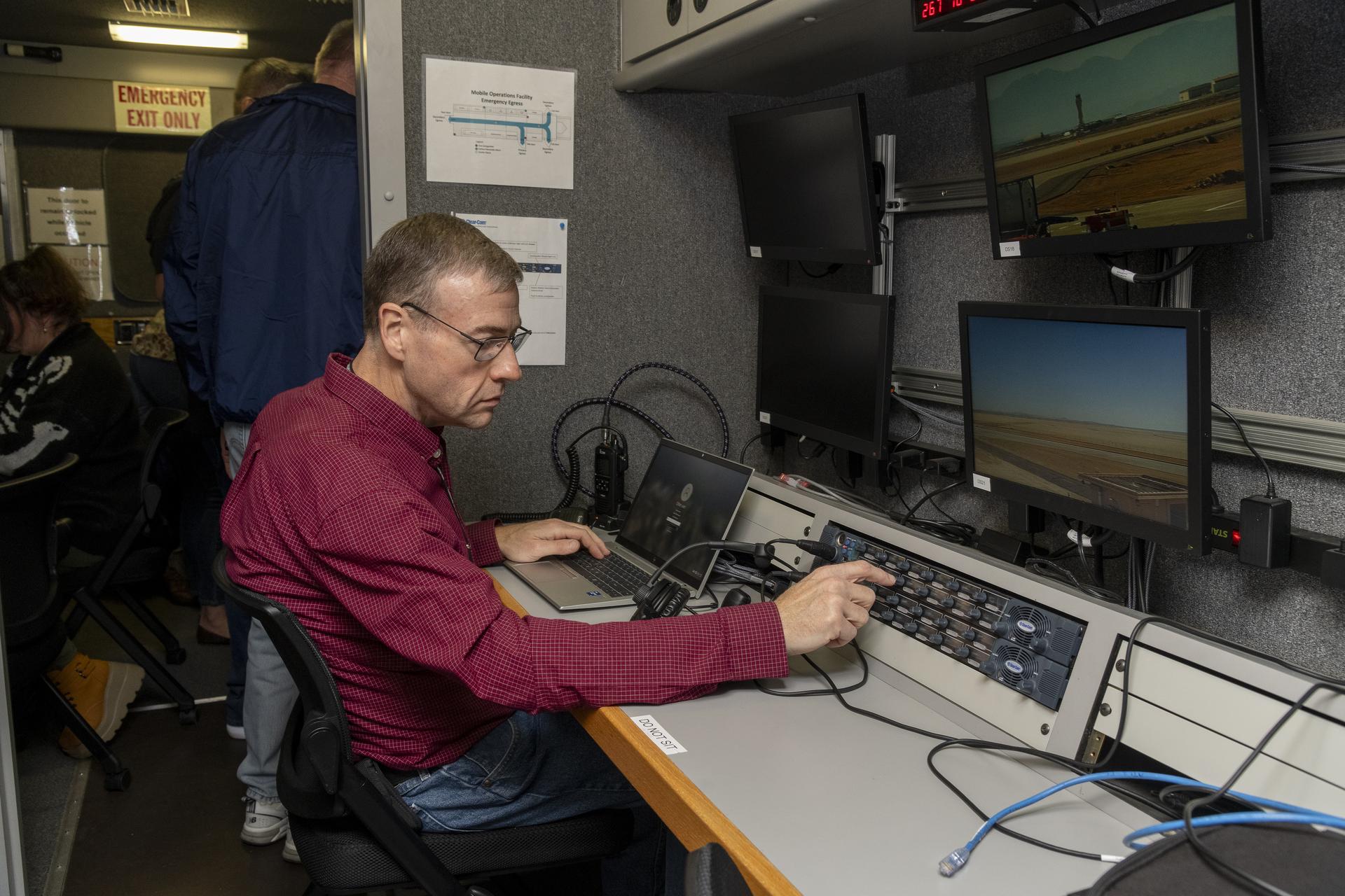
To simulate the conditions of an urban flight area and better understand signal loss patterns, NASA researchers established a test zone at NASA’s Armstrong Flight Research Center in Edwards, California, on Sept. 23 and 24, 2024.

Flying in the agency’s Pilatus PC-12 in a grid pattern over four ADS-B stations, researchers collected data on signal coverage from multiple ground locations and equipment configurations. Researchers were able to pinpoint where signal dropouts occurred from the strategically placed ground stations in connection to the plane’s altitude and distance from the stations. This data will inform future placement of additional ground stations to enhance signal boosting coverage.  

“Like all antennas, those used for ADS-B signal reception do not have a constant pattern,” said Brad Snelling, vehicle test team chief engineer for NASA’s Air Mobility Pathfinders project. “There are certain areas where the terrain will block ADS-B signals and depending on the type of antenna and location characteristics, there are also flight elevation angles where reception can cause signal dropouts,” Snelling said. “This would mean we need to place additional ground stations at multiple locations to boost the signal for future test flights. We can use the test results to help us configure the equipment to reduce signal loss when we conduct future air taxi flight tests.”

Wearing a dark red shirt, NASA researcher Dennis Iannicca, sits at a control monitor with three video screens, a laptop, and a control board with dials. The gray-colored control station is inside the Mobile Operations Facility, a large trailer that houses multiple computer workstations to monitor flight testing. The ADS-B research is being done at NASA’s Armstrong Flight Research Center in Edwards, California.
Working in the Mobile Operations Facility at NASA’s Armstrong Flight Research Center in Edwards, California, NASA Advanced Air Mobility researcher Dennis Iannicca adjusts a control board to capture Automatic Dependent Surveillance-Broadcast (ADS-B) data during test flights. The data will be used to understand ADS-B signal loss scenarios for air taxi flights in urban areas.
NASA/Steve Freeman

The September flights at NASA Armstrong built upon earlier tests of ADS-B in different environments. In June, researchers at NASA’s Glenn Research Center in Cleveland flew the Pilatus PC-12 and found a consistent ADS-B signal between the aircraft and communications antennas mounted on the roof of the center’s Aerospace Communications Facility. Data from these flights helped researchers plan out the recent tests at NASA Armstrong. In December 2020, test flights performed under NASA’s Advanced Air Mobility National Campaign used an OH-58C Kiowa helicopter and ground-based ADS-B stations at NASA Armstrong to collect baseline signal information.

NASA’s research in ADS-B signals and other communication, navigation, and surveillance systems will help revolutionize U.S. air transportation. Air Mobility Pathfinders researchers will evaluate the data from the three separate flight tests to understand the different signal transmission conditions and equipment needed for air taxis and drones to safely operate in the National Air Space. NASA will use the results of this research to design infrastructure to support future air taxi communication, navigation, and surveillance research and to develop new ADS-B-like concepts for uncrewed aircraft systems.

NASA Kicks off Testing Campaign for Remotely Piloted Cargo Flights

4 min read

Preparations for Next Moonwalk Simulations Underway (and Underwater)

Danah Tommalieh, commercial pilot and engineer at Reliable Robotics, inputs a flight plan at the control center in Mountain View, California, ahead of remotely operating a Cessna 208 aircraft at Hollister municipal airport in Hollister, California.
NASA/Don Richey

NASA recently began a series of flight tests with partners to answer an important aviation question: What will it take to integrate remotely piloted or autonomous planes carrying large packages and cargo safely into the U.S. airspace? Researchers tested new technologies in Hollister, California, that are helping to investigate what tools and capabilities are needed to make these kinds of flights routine.  

The commercial industry continues to make advancements in autonomous aircraft systems aimed at making it possible for remotely operated aircraft to fly over communities – transforming the way we will transport people and goods. As the Federal Aviation Administration (FAA) develops standards for this new type of air transportation, NASA is working to ensure these uncrewed flights are safe by creating the required technological tools and infrastructure. These solutions could be scaled to support many different remotely piloted aircraft – including air taxis and package delivery drones – in a shared airspace with traditional crewed aircraft. 

“Remotely piloted aircraft systems could eventually deliver cargo and people to rural areas with limited access to commercial transportation and delivery services,” said Shivanjli Sharma, aerospace engineer at NASA’s Ames Research Center in California’s Silicon Valley. “We’re aiming to create a healthy ecosystem of many different kinds of remotely piloted operations. They will fly in a shared airspace to provide communities with better access to goods and services, like medical supply deliveries and more efficient transportation.”  

During a flight test in November, Reliable Robotics, a company developing an autonomous flight system, remotely flew its Cessna 208 Caravan aircraft through pre-approved flight paths in Hollister, California. 

Although a safety pilot was aboard, a Reliable Robotics remote pilot directed the flight from their control center in Mountain View, more than 50 miles away.

A close up image of a cockpit of a Cessna 208, showing various controls and mechanics.
Cockpit of Reliable Robotics’ Cessna 208 aircraft outfitted with autonomous technology for remotely-piloted operations.
NASA/Brandon Torres Navarrete

Congressional staffers from the United States House and Senate’s California delegation joined NASA Deputy Associate Administrator for Aeronautics Research Mission Directorate, Carol Caroll, Ames Aeronautics Director, Huy Tran, and other Ames leadership at Reliable Robotics Headquarters to view the live remote flight.

Researchers evaluated a Collins Aerospace ground-based surveillance system’s ability to detect nearby air traffic and provide the remote pilot with information in order to stay safely separated from other aircraft in the future. 

Initial analysis shows the ground-based radar actively surveilled the airspace during the aircraft’s taxi, takeoff, and landing. The data was transmitted from the radar system to the remote pilot at Reliable Robotics. In the future, this capability could help ensure aircraft remain safely separated across all phases of fight.   

A Cessna 208 aircraft with propeller, white paint with black accents is shown flying against a mostly clear blue sky. In the background, wispy clouds and a distant hill are visible.
A Reliable Robotics’ modified Cessna 208 aircraft flies near Hollister Airport. A Reliable Robotics pilot operated the aircraft remotely from the control center in Mountain View.
NASA/Brandon Torres Naverrete

While current FAA operating rules require pilots to physically see and avoid other aircraft from inside the cockpit, routine remotely piloted aircraft will require a suite of integrated technologies to avoid hazards and coordinate with other aircraft in the airspace.  

A radar system for ground-based surveillance offers one method for detecting other traffic in the airspace and at the airport, providing one part of the capability to ensure pilots can avoid collision and accomplish their desired missions. Data analysis from this testing will help researchers understand if ground-based surveillance radar can be used to satisfy FAA safety rules for remotely piloted flights. 

NASA will provide analysis and reports of this flight test to the FAA and standards bodies. 

“This is an exciting time for the remotely piloted aviation community,” Sharma said. “Among other benefits, remote operations could provide better access to healthcare, bolster natural disaster response efforts, and offer more sustainable and effective transportation to both rural and urban communities. We’re thrilled to provide valuable data to the industry and the FAA to help make remote operations a reality in the near future.”  

Over the next year, NASA will work with additional aviation partners on test flights and simulations to test weather services, communications systems, and other autonomous capabilities for remotely piloted flights. NASA researchers will analyze data from these tests to provide a comprehensive report to the FAA and the community on what minimum technologies and capabilities are needed to enable and scale remotely piloted operations. 

This flight test data analysis is led out of NASA Ames under the agency’s Air Traffic Management Exploration project. This effort supports the agency’s Advanced Air Mobility mission research, ensuring the United States stays at the forefront of aviation innovation. 

Keep Exploring

Discover More Topics From NASA

NASA Small Business Funding Enables Aircraft Inspection by Drone

3 min read

Preparations for Next Moonwalk Simulations Underway (and Underwater)

A small, black drone with four rotors is shown in the foreground flying in front of a commercial airliner in the background. The airliner is painted white and the front facing windows can be seen behind the drone. Concrete platforms surround the commercial airliner and yellow ramps connect the platforms to the plane.
A Boeing 777-300ER aircraft is being inspected by one of Near Earth Autonomy’s drones Feb. 2, 2024, at an Emirates Airlines facility in Dubai, United Arab Emirates.
Near Earth Autonomy

A small business called Near Earth Autonomy developed a time-saving solution using drones for pre-flight checks of commercial airliners through a NASA Small Business Innovation Research (SBIR) program and a partnership with The Boeing Company.

Before commercial airliners are deemed safe to fly before each trip, a pre-flight inspection must be completed. This process can take up to four hours, and can involve workers climbing around the plane to check for any issues, which can sometimes result in safety mishaps as well as diagnosis errors.

With NASA and Boeing funding to bolster commercial readiness, Near Earth Autonomy developed a drone-enabled solution, under their business unit Proxim, that can fly around a commercial airliner and gather inspection data in less than 30 minutes. The drone can autonomously fly around an aircraft to complete the inspection by following a computer-programmed task card based on the Federal Aviation Administration’s rules for commercial aircraft inspection. The card shows the flight path the drone’s software needs to take, enabling aircraft workers with a new tool to increase safety and efficiency.

“NASA has worked with Near Earth Autonomy on autonomous inspection challenges in multiple domains,” says Danette Allen, NASA senior leader for autonomous systems. 

“We are excited to see this technology spin out to industry to increase efficiencies, safety, and accuracy of the aircraft inspection process for overall public benefit.”

The photos collected from the drone are shared and analyzed remotely, which allows experts in the airline maintenance field to support repair decisions faster from any location. New images can be compared to old images to look for cracks, popped rivets, leaks, and other common issues.

The user can ask the system to create alerts if an area needs to be inspected again or fails an inspection. Near Earth Autonomy estimates that using drones for aircraft inspection can save the airline industry an average of $10,000 per hour of lost earnings during unplanned time on the ground.

Over the last six years, Near Earth Autonomy completed several rounds of test flights with their drone system on Boeing aircraft used by American Airlines and Emirates Airlines.

NASA’s Small Business Innovation Research / Small Business Technology Transfer program, managed by the agency’s Space Technology Mission Directorate, aims to bolster American ingenuity by supporting innovative ideas put forth by small businesses to fulfill NASA and industry needs. These research needs are described in annual SBIR solicitations and target technologies that have significant potential for successful commercialization. 

Small business concerns with 500 or fewer employees, or small businesses partnering with a non-profit research institution such as a university or a research laboratory can apply to participate in the NASA SBIR/STTR program.

❌